


Walkover Locating System
The Commander Series walkover locating system delivers high-precision walkover telemetry for horizontal directional drilling operations. Designed for seamless real-time tracking, the system accurately pinpoints sonde location, pitch, roll, and depth while relaying critical guidance data instantaneously between the downhole receiver and the rig operator’s remote display.
The lineup features four distinct performance tiers—Commander 6, Commander 9, Commander 9 Pro, and Unlimited Guide 5000. With options spanning multiple frequency channels, extended telemetry ranges, and advanced digital logging, you can select the exact locating system matched to your rig's tonnage and site geology.
📩 Get a Tailored System Configuration
Send us your HDD rig model, target drilling depth, soil profile, and probe preferences. HDD Master’s technical engineers will analyze your jobsite specs to verify compatibility and recommend the optimal locator package.
The Parameter Comparison of Commander Series Walkover Locating System
Commander 6 |
Commander 9 |
Commander 9 PRO |
Unlimited Guide 5000 |
|
I. Receiver Specifications |
||||
| System Frequency | 12 frequencies; 4 kHz–41 kHz | 0.32 kHz–41 kHz | 0.32 kHz–41 kHz | 0.32 kHz–41 kHz |
| Display | — | — | — | 7″ color touchscreen (Android) |
| Ingress Protection | IP65 | IP65 | IP65 | IP65 |
| Operating Temperature | — | -20°C to 60°C | -20°C to 60°C | -20°C to 60°C |
| Radio Channels | 4 | 4 | 4 | 4 |
| Communication Range | 1200 m | 1800 m | 1.8 km / 3 km (PRO) | 3 km (radio); works anywhere with data network |
| Power Supply | Rechargeable Li-ion 12.5 V | Rechargeable Li-ion 12.5 V | Rechargeable Li-ion 12.5 V | Rechargeable Li-ion 12.5 V |
| Battery Life | 50 h | 50 h | 50 h | 20.5 h |
| Dimensions | 68.5 × 13 × 30 cm | 71 × 33 × 16 cm | 71 × 33 × 16 cm | 72 × 35 × 22 cm |
| Weight | 3 kg | 3.7 kg | 3.7 kg | 5 kg |
| Compatible Probes | XNEEDLE / CTX1 / CTX2S / CTX50 / CTX70 | Xneedle / Xmini / Echo-S / Echo50 · 50X · 50XF / Echo60 / Echo70 / Echo90 / Echo110 | Echo50XF · 50X · 50 / Xneedle / Xmini / Echo-S / Echo60 / Echo70 / Echo75XF / Echo90 / Echo110 | ECHO110 / VTX50 / VTX75 / VTX120 / FLX-1931 / FLX-R6201 |
II. Remote Display Specifications |
||||
| Display | 5″ LCD | 7″ color touchscreen (Android) | 7″ color touchscreen (Android) | 7″ color touchscreen (Android) |
| Radio Communication | 4 channels; 1200 m | 433 MHz, 4 channels; 1800 m | 433 MHz 1.8 km / 480 MHz 3 km (PRO) | 480 MHz, 4 channels; 3 km |
| Data-Network Communication | — | — | — | Receives anywhere with data network coverage |
| Battery Life | 50 h | 50 h | 50 h | 30 h |
| Dimensions | 19 × 13 × 19 cm | 22 × 14 × 22 cm | 22 × 14 × 22 cm | 22 × 14 × 22 cm (+ dish antenna 15 × 15 × 12.5) |
| Weight | 1.5 kg | 2.2 kg | 2.2 kg | 2.35 kg (antenna 0.55 kg) |
| Data Logging | — | Built-in | Built-in | Built-in + cloud platform / APP |
| GNSS Module | — | — | — | Built-in GNSS + IoT SIM card |
| Protection / Temp. | IP65 | IP65 / -20°C to 60°C | IP65 / -20°C to 60°C | IP65 / -20°C to 60°C |
III. Key Feature Differences |
||||
| Guidance Method | Forward-Point Method + Three-Point Method | Three-Point Method + Remote Crossing | Three-Point Method + Remote Crossing | Three-Point Method + Remote Crossing |
| Dual-Positioning Independent Tracking | 2-in-1 guidance system | — | Yes | — |
| In-Ground Frequency Switching (Receiver) | — | — | Yes | Yes (newly upgraded) |
| Data Logging / Cloud Platform | — | Remote display data logging | Remote display data logging | Cloud platform + mobile APP |
| Staking-Out / Survey Points / 3D Tape / Inclination Guidance | — | — | — | Full set supported |
| GNSS Positioning | — | — | — | Yes |
| User Lock | — | — | — | Yes |
| Rebar Mode | — | — | Yes (Echo750XF, up to 40 m) | — |
| Max. Measuring Depth | 70 m (CTX70) | 110 m (ECHO110) | 110 m (ECHO110) | 120 m (VTX120) |
IV. Warranty |
||||
| Receiver / Remote Display | 1 year | 1 year | 1 year | 1 year |
| Probe | CTX50/60: 6 months (30-month value guarantee) | Echo series: 6 months (3-year value guarantee) | 6 months (3-year value guarantee) | VTX series: 3-year value guarantee (incl. 6-month warranty) |
How to Choose the Right Walkover Locating System for Your Project?
| Model | Best suited for | Highlights | Difference |
|---|---|---|---|
| Commander 6 | Crews looking for a straightforward locating setup | 12 frequencies from 4–41 kHz; IP65 receiver; four radio channels; compatible with listed CTX and XNEEDLE probes. | Commander 6 features 12 system frequencies (4–41 kHz), 4 radio channels, and broad probe compatibility. Equipped with an IP65-rated receiver and up to 50 hours of battery life, it is ideal for crews requiring precise, core locating and guidance. Please verify probe and rig compatibility before purchase. |
| Commander 9 | HDD crews needing a receiver and remote display workflow | Four selectable communication channels, device pairing, and drilling data recording and report functions. | The Commander 9 system features seamless wireless communication between the receiver and remote display, with selectable multi-channel pairing and integrated bore-data logging. The remote display delivers real-time guidance data to the rig operator, while recorded drill logs streamline post-project analysis and compliance reporting. |
| Commander 9 Pro | Crews needing the Professional communication and remote-crossing options | Up to 3 km radio communication for the Professional version and remote-crossing guidance information up to 30 m. | The Commander 9 Pro features a robust 480 MHz radio telemetry system delivering up to 3 km of remote transmission range, which is engineered for complex and long-distance bores. Its advanced Remote-Crossing Mode provides real-time left/right offset, inclination, and clock-position data at distances up to 30 m—enabling accurate guidance even over inaccessible terrain.
(Note: Depth readouts serve as reference values; signal accuracy increases as the sonde approaches. Always apply local site assessment and sound engineering judgment during operation.) |
| Unlimited Guide 5000 | Teams that want additional digital guidance and job-recording functions | 7-inch Android touchscreen receiver, GNSS modules and IoT cards in receiver and remote display, plus supported functions such as guidance records, stakeout and inclination guidance. Up to 120 m maximum locating depth when paired with the VTX120 probe. | The WXD5000 elevates HDD locating with a 7-inch color Android touchscreen, integrated GNSS positioning, and IoT connectivity for seamless cloud data management. Built for precision in harsh environments, it supports 3D measuring, digital stakeout, and real-time inclination guidance—delivering up to 120 m locating depth when paired with the VTX120 probe.
(Engineered with IP65 weather protection and an operating range of -20°C to 60°C. Actual depth and telemetry range depend on probe selection and site geology.) |
⭐Important: Telemetry range and maximum locating depth vary significantly depending on the HDD locating systems model, probe selection, communication mode, and site geology. For instance, the Commander 6 provides up to 1,200 m standard radio telemetry, whereas the Unlimited Guide 5000 supports dual radio and cellular/data-network modes—representing distinct operating systems rather than direct performance metrics.
Related Products

Digitrak F5+ HDD Locator
DigiTrak Falcon F5+ locator for high-precision HDD tracking.

Underground Magnetics Mag 9 Locator
Precision Underground Magnetics Mag 9 locator system with multi-channel telemetry.
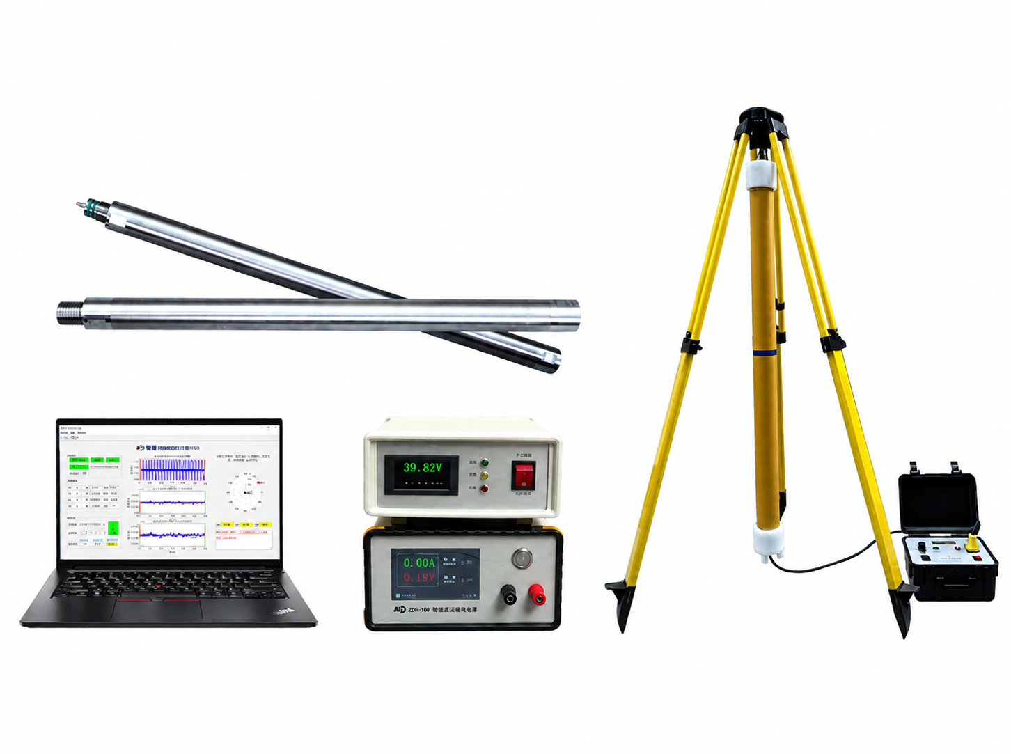
Smartdrill HDD Wireline Guidance System
Smartdrill wireline guidance system for long-range, high-precision HDD tracking.

ParaTrack 2 HDD Guidance System
Key Features & Benefits Independent Survey Verification for Ultimate Confidence Enhance the accuracy of both magnetic and gyroscopic HDD survey tools. As drill lengths grow longer and profiles more complex, it is critical to both survey borehole positions and verify them. The ParaTrack 2™ delivers verifiable results, eliminating costly surprises and providing peace of mind. […]